


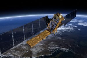


Kayrros is very pleased to announce that six scientific research papers, authored by Kayrros and its partners at the Université Paris-Saclay, have been accepted by the International Society for Photogrammetry and Remote Sensing (ISPRS) Congress 2020 for publication. The papers introduce various new satellite image processing algorithms that will progress the science and scope of geospatial monitoring.
The technical lead of the satellite team at Kayrros, Carlo de Franchis explains “The ISPRS Congress is very special, because it’s the biggest conference in the geospatial world. It gathers thousands of people and it only happens once every four years.” In addition to his role at Kayrros, Carlo is also a researcher at Université Paris-Saclay and is one of the authors behind the newly-published papers.
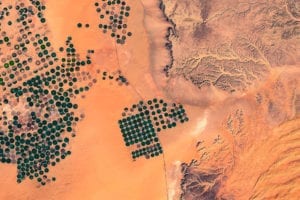
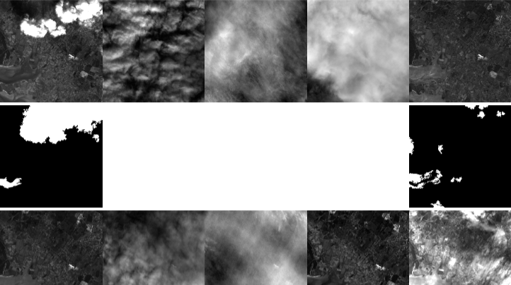
Some of the topics addressed include automatic cloud detection from satellite imagery series, parking occupancy measurements through Sentinel-1 images and multi-frame super-resolution of SkySat imagery.
A team to change the way businesses make decisions
Leave A Comment