


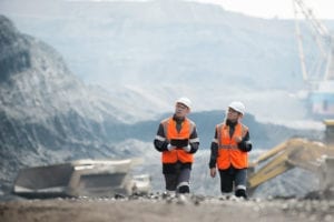


Operations Management
Measurement of methane
emissions is already
possible on a global scale
In
the press
The advantage
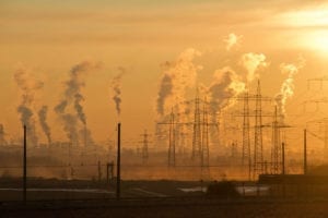
of realtime gas emission detection and measurement versus benchmark engineering estimates lies in their potential to disrupt company valuations across many sectors of the economy from energy to utilities and waste management. This is significant because many large of emissions around the world are unreported, methane is a potent greenhouse gas. The potential for reducing man-made emissions is therefore material and companies, investors, and regulators all have roles to play.
Benefits
![]() Valuation
Valuation
Companies proactive in the measurement, disclosure, and mitigation of GHG emissions are more likely to benefit from a deeper investor base, lower cost of capital, higher revenue, and increased share price
![]() License to Operate
License to Operate
Companies with lower industry methane intensity curves are more likely to attract and retain talent and are better placed to engage with local communities and regulators

![]() Credibility
Credibility
Self-certification is likely to be met with a certain amount of skepticism. Instead, emitters can benefit from the credibility associated with an independent 3rd party
Technology
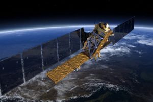
The Kayrros Methane Watch uses data acquired by the Sentinel-5P satellite, which is part of the Copernicus network of satellites operated by the European Space Agency. Abnormal concentrations of methane are automatically detected by Kayrros proprietary algorithms, which apply meteorological models to determine source flow rate and location taking wind direction and other local factors into account. Methane hotspots are attributed to specific assets such as oil wells or gas compression stations. This is based on local information including flaring and venting data as well as the use of high-resolution images.
Sources: Kayrros analysis, contained modified Copernicus data

1.
Automation
Automatic detection and quantification of large methane sources
2.
Global Coverage
Onshore sources are revisited with frequency of 3-4 days on average depending on weather conditions
3.
Variable Resolution
Spatial resolution of 5 x 7 km2, with the ability to task higher-resolution images as required
Our other solutions for Operations
![]() Managing risks and reducing costs along linear infrastructure
Managing risks and reducing costs along linear infrastructure
For powerline or pipeline operators, the sudden emergence of temporary structures, vegetation growth, and construction……. Read more
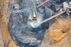
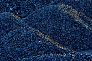
![]() Mines and quarries
Mines and quarries
Simplify your mine planning, assess your operational efficiency and lower your costs by monitoring your sites…….. Read more
![]() Commercial and purchasing
Commercial and purchasing
Better data on suppliers and consumers along the supply chain lead to better business outcomes…….. Read more
Recent posts
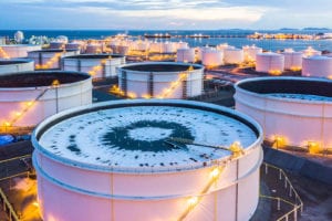
May

China Crude Demand Rebounds as the Rest of Asia Reels from COVID-19
China and its neighboring Asian countries are exhibiting different crude demand profiles just a few months after the first cases of...
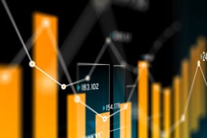
Are Global Oil Stocks at a Turning Point?
Kayrros leverages satellites to provide comprehensive, realtime and...
01
May
Demand in COVID-19: Eliminating the blind spots
Shedding light on the impacts of COVID-19 on commercial and...
7
May
China Crude Demand Rebounds as the Rest of Asia Reels from...
China and its neighboring Asian countries are exhibiting different...
01
May
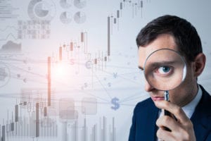
Want to be the first to know when oil prices will go up?
Kayrros leverages satellites to provide comprehensive, realtime and...
01
May
Demand in COVID-19: Eliminating the blind spots
Shedding light on the impacts of COVID-19 on commercial and...
7
May
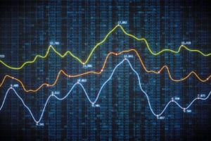
Too Full or Not Too Full: The Cushing Paradox
The oil market was shaken to its core when NYMEX WTI prompt contract...
01
May
Want to be the first to know when the oil market reaches a...
Kayrros leverages satellites to provide comprehensive, realtime and...
01
May
Demand in COVID-19: Eliminating the blind spots
Shedding light on the impacts of COVID-19 on commercial and...
5
May
International Society of Photogrammetry and Remote Sensing...
Kayrros is very pleased to announce that six scientific research...
01
May